
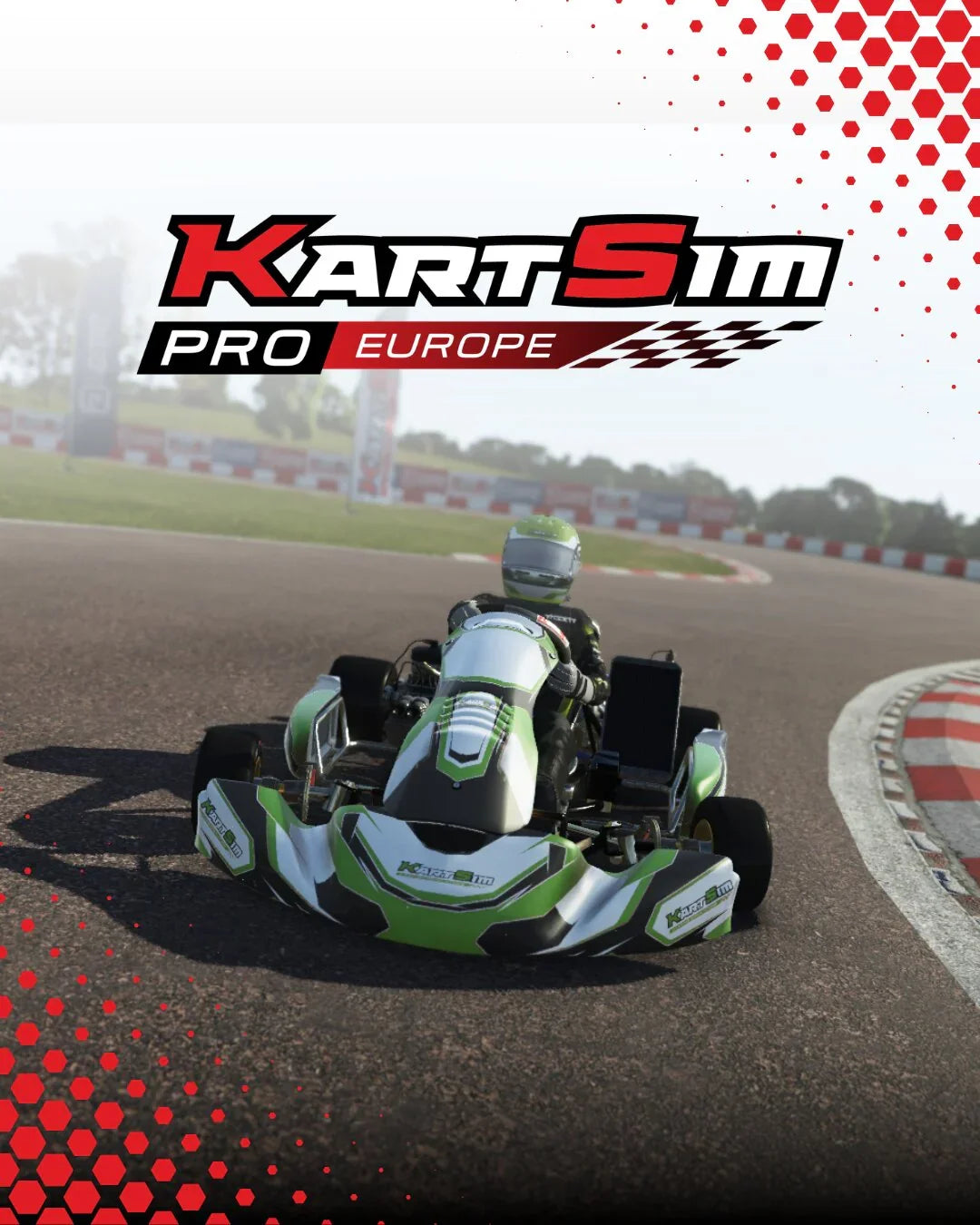
KartSim Pro EU-sagteware V2


Rodby Kart-baan
LocationRødby, Denemarke
Corners14
Available inKartSim Pro EU-sagteware V2
Ervaar die opwinding van die Rødby Kart Circuit met KartSim Pro EU Software — Denemarke se voorste karting-lokaal, bekend vir sy tegniese uitleg, vinnige afdelings en uitdagende draaie wat presisie en konsekwentheid vereis. As 'n gasheer van groot Skandinawiese karting-geleenthede, het Rødby 'n gunsteling geword onder topbestuurders wat hul perke wil toets. Met KartSim Pro bestuur jy nie net Rødby nie – jy jaag daarmee. Ons gevorderde simulatorsagteware bied 'n lewensgetroue herskepping van die baan, wat elke randsteen, toppunt en oppervlakverandering vasvang, sodat jy jou vaardighede kan verfyn, jou rondtetye kan verbeter en die adrenalien van topvlak-karting kan ervaar – alles vanuit jou tuissimulator.
Of jy nou voorberei vir kompetisie of op soek is na 'n hoëgehalte virtuele resieservaring, KartSim Pro EU-sagteware bring die opwinding van Rødby Kart Circuit direk na jou opstelling met ongeëwenaarde realisme en presisie.
AVAILABLE TRACK LAYOUTS
Track Showcase
Watch the circuit in KartSim before jumping into the layout guides below.